نقدم حلولاً متقدمة للمسح الجوي باستخدام الطائرات بدون طيار (Drones) وأحدث تقنيات التصوير لإنشاء خرائط طبوغرافية دقيقة.
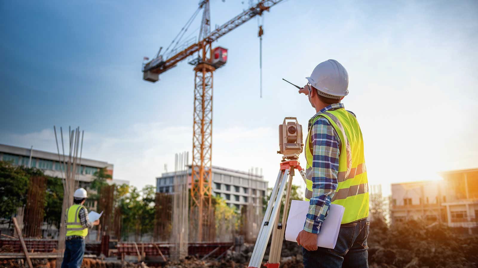
تنفيذ شبكات التحكم الجيوديسي وتحديد الإحداثيات والمرجعيات الأرضية بدقة متناهية باستخدام أجهزة GPS/GNSS.
استخدام تقنيات المسح بالليزر (3D Laser Scanning) لتوثيق المباني والمنشآت القائمة وإنشاء نماذج رقمية.
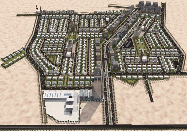
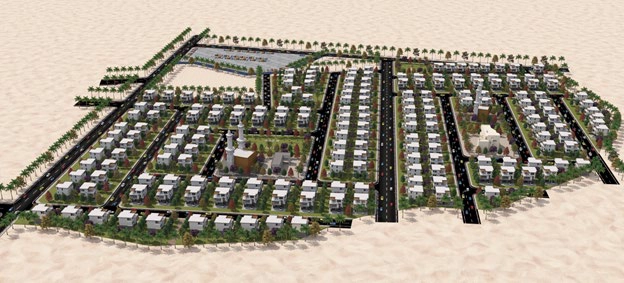
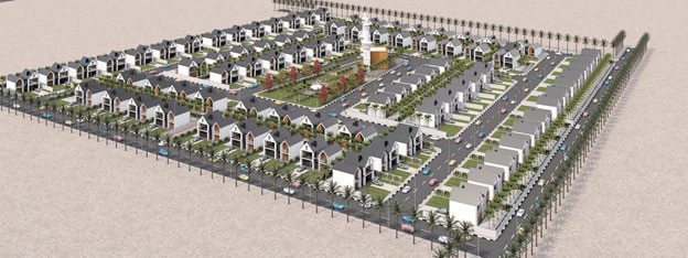
إعداد مخططات تقسيم الأراضي والفرز العقاري وفق أعلى المعايير التخطيطية والأنظمة البلدية.
نمتلك فريقًا من المهندسين والاستشاريين ذوي الخبرة الواسعة في مختلف التخصصات الهندسية
نقدم حلولًا هندسية مبتكرة تواكب أحدث التقنيات والمعايير العالمية
نلتزم بأعلى معايير الجودة في جميع مراحل المشروع من التخطيط حتى التسليم
سجل حافل بالمشاريع الناجحة في مختلف مناطق المملكة العربية السعودية
دعنا نساعدك في تحويل رؤيتك إلى واقع هندسي ملموس. فريقنا جاهز لتقديم الاستشارة والدعم الفني.
تواصل معنا الآن